Geography games for kids that work in a real classroom
Good geography games for kids put a real place on the screen and make the class reason about it: where is this, how big is it really, what was here before. Every app on this page opens in the browser on the classroom board, with nothing to download. Some are played by the whole class at once, some let pupils join on their own tablets or laptops, and some print a sheet for their books. Pupils who join on a device never sign in.
Are these geography games free online?
Two are free with no catch: View from Space, and the Coordinates Grid, which opens without even signing in. The rest are free to try. Every account starts with 20 free tokens, and what a token buys depends on the app:
- GeoMystery and GeoSpotter: starting a round uses one, and playing that same round again costs nothing.
- True Size, Earth Explorer and World Radio: one token covers the whole day, however many countries you drag or stations you play. Printing from True Size comes out of that same day.
- Map Time Machine and Map Printer: looking costs nothing. Printing a map uses one, and printing the same map again is free.
Map skills games
Map skills stick when children use a map to find something out, not when they copy a key into their books. True Size starts the best argument: the class insists Greenland is as big as Africa, you press the Greenland vs Africa button, and Greenland shrinks as it slides south. Switch to the equal-area map and the same drag barely changes it. That is map projection taught by being fooled first.
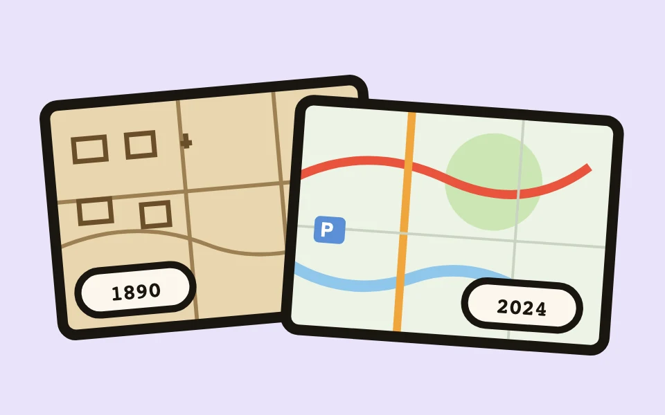
Map Time Machine is for reading real Ordnance Survey maps. Search your own town and press an era: Victorian, Edwardian, post-war or today. The view stays put, so the class compares the same street across a century, and the old sheets are full of symbols worth decoding. It covers mainland Great Britain only.
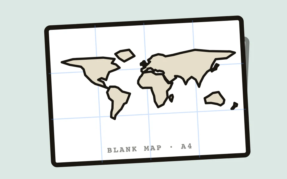
Map Printer gives you the paper side. Pick the world, a continent or one country, choose borders, names, cities and rivers, and tick a blank copy to label. One press prints the named map and the same map with the names gone, ready for the class to fill in.
Geography activities for kids beyond the worksheet
Some of the best geography lessons are about what a place looks and sounds like. GeoSpotter shows a place from above on a satellite map, such as the Nile Delta fanning into the sea, and the class works out where it is from the shapes alone. It can also print the round as a worksheet with an answer key. Earth Explorer starts with your own school: search the name or postcode and zoom down until the children recognise the field. Then send that exact view to their devices with a code or QR, and they explore it themselves.
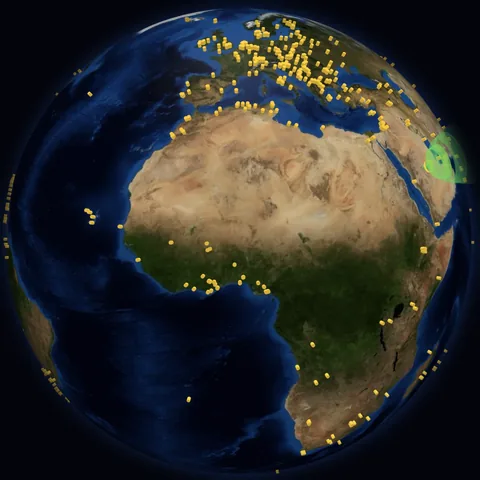
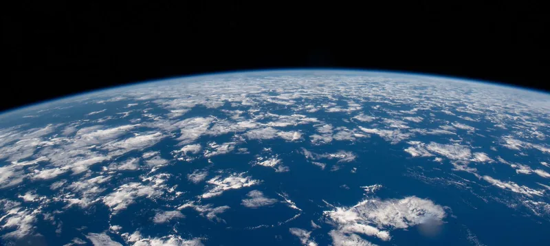
World Radio puts live radio stations on a spinning globe. Hide the screen, play a station, and let the class guess the country from the language before you show the flag. View from Space is quieter: the live view from the International Space Station, with a timer, for a few minutes of spotting oceans, deserts and cloud.
Geography games by year group: KS1, KS2 and elementary grades
For Key Stage 1 (Years 1 and 2, roughly US kindergarten and grade 1), use GeoSpotter's ready-made packs on the seven continents, oceans and seas, and hot and cold places. The class answers together on the board, and the satellite pictures do the work that reading would otherwise have to.
For lower Key Stage 2 (Years 3 and 4, roughly US grades 2 and 3), GeoSpotter's rivers, mountains and volcanoes packs fit the physical geography topics, and Map Printer makes the labelling sheet for whatever region you are studying. 3D Explorer has an erupting volcano and Earth's layers to spin on the board.
For upper Key Stage 2 (Years 5 and 6, roughly US grades 4 and 5), GeoMystery asks for the region as well as the country, Map Time Machine carries a local history study, and the Coordinates Grid, with all four quadrants, gets a class reading across before up ahead of grid references.
How they fit the UK National Curriculum and US social studies
In England, the primary geography curriculum asks KS1 pupils to name the seven continents and five oceans and to use world maps, atlases, globes and aerial photographs. KS2 adds locating countries in Europe and the Americas, using digital mapping and Ordnance Survey maps, and studying rivers, mountains and volcanoes. GeoSpotter, Earth Explorer, Map Time Machine and Map Printer map onto those lines directly.
In the US, geography sits inside elementary social studies, often taught through the five themes of geography: location, place, human and environment interaction, movement and regions. True Size and Map Printer cover location, GeoMystery and World Radio cover place, and Earth Explorer shows how people have changed the land. Map Time Machine is the exception, as its old maps cover Great Britain only.
Geography games on locked-down school networks
Many school filters block Google Street View, which is why the well-known guessing games often fail in class. GeoMystery uses Wikipedia photos instead, so there is no Street View to block. GeoSpotter and Earth Explorer load their satellite pictures from Esri rather than Google. View from Space plays a YouTube stream, so if your school blocks YouTube the player stays blank. Open each app on the classroom computer once before the lesson that needs it.
Is there a GeoGuessr for school?
GeoMystery is the closest thing: a photo, then continent, country and region, and the map zooms in on the real spot. Play it on the board with no devices, or let pupils join with a QR code and pick from six options. You can choose a ready-made set or type your own list of places.
Questions teachers ask
Is there a geography games app to download?
No download is needed. Everything runs in the web browser on a whiteboard, laptop, Chromebook or iPad, so there is nothing for IT to install.
Do pupils need accounts?
No. The teacher signs in. Pupils joining GeoMystery or GeoSpotter, or opening a shared Earth Explorer view, just use the code.
Written by a practising primary school teacher, and part of the free-to-try Sage Teachers apps.
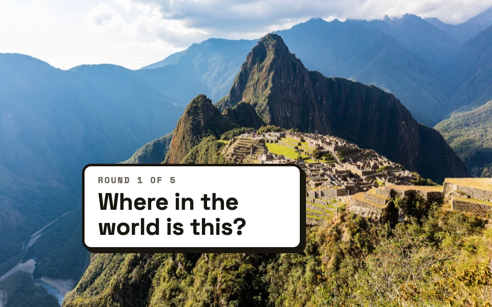 GeoMysteryA mystery photo: name the continent, the country, then the region.Places and the world
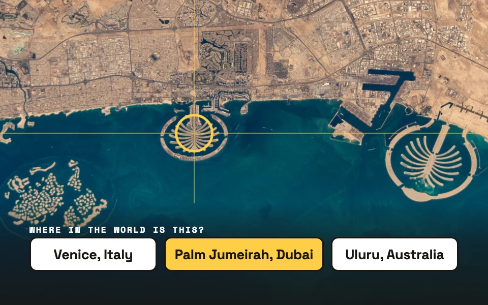 GeoSpotterA place seen from above on a satellite map. Where in the world is it?Maps and places
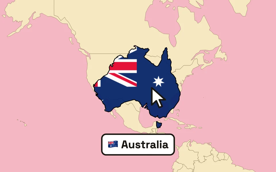 True SizeDrag a country across the map and watch it grow or shrink to its real size.Map skills
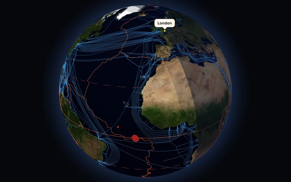 Earth ExplorerSatellite, terrain and night lights, from the whole planet down to your school roof.Maps and places
 Map Time MachineOld maps of any UK town, with one button back to the map of today.Map skills
 Map PrinterA blank outline map to label, printed with its answer sheet.Map skills
 World RadioTap a dot on the globe and hear a live station from that country.Places and the world
 View from SpaceThe live picture from the Space Station. Spot the coastlines as they pass.Places and the world